Early morning · Calgary to Horseshoe Canyon
Watch the prairie open up
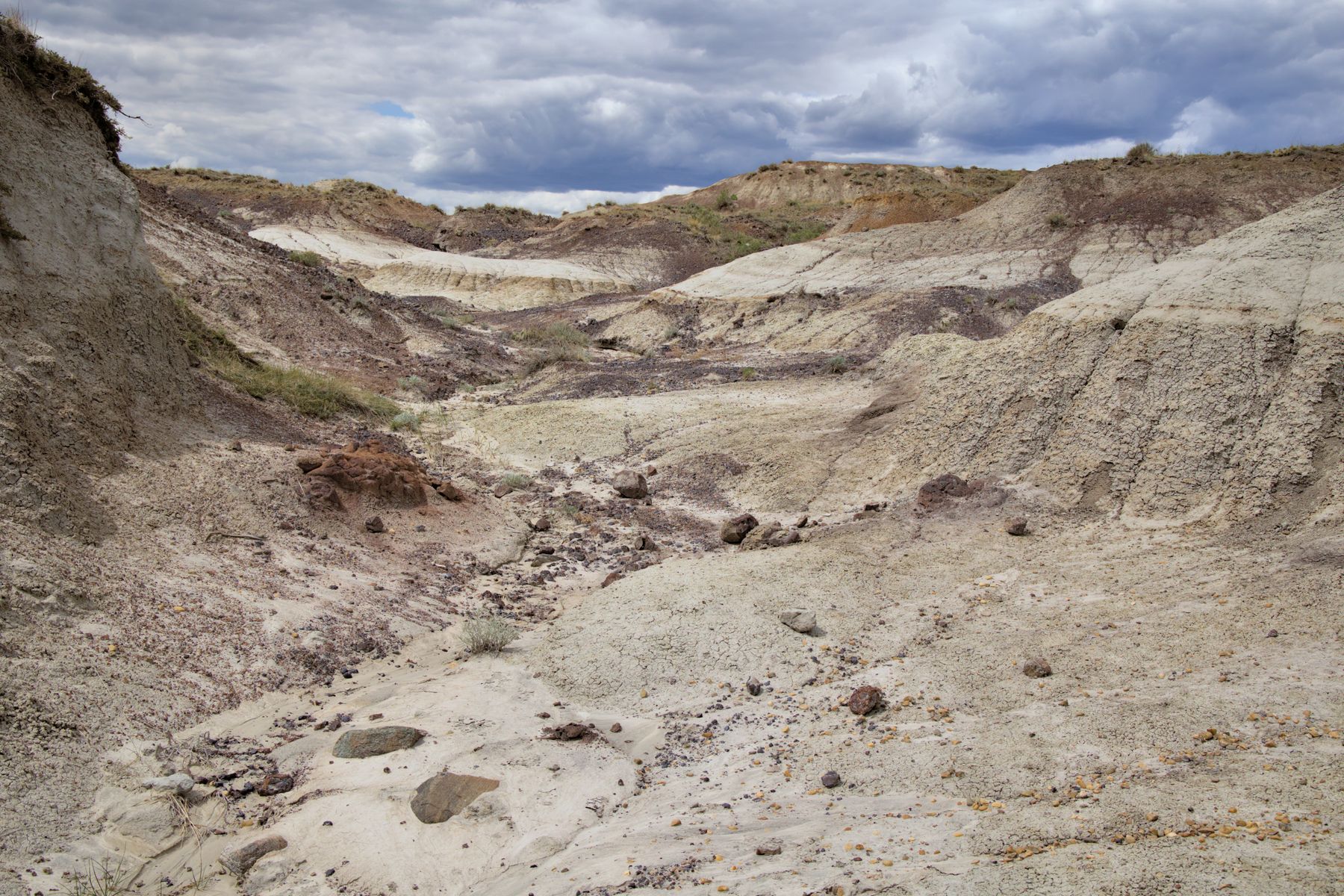
Leave Calgary early and take Highway 9 east. Horseshoe Canyon is the first big reveal: a short rim walk turns the flat horizon into layered badlands almost without warning.

Alberta · self-drive guide
A city-to-badlands escape where open prairie suddenly falls away into striped coulees, fossil country and wonderfully strange roadside geology.
Calgary → Horseshoe Canyon → Drumheller → Dinosaur Trail → Hoodoos → Wayne → Calgary
Route overview
Select a named checkpoint to see its photograph and notes. Zoom in for the road detail, or open the main stops in your preferred navigation app.
The line follows the mapped driving route between the checkpoints. Your navigation app may vary, so check conditions, ferry crossings and seasonal closures before driving.
Leave Calgary early and take Highway 9 east. Horseshoe Canyon is the first big reveal: a short rim walk turns the flat horizon into layered badlands almost without warning.
Roll into town for coffee and a look at the Red Deer River valley, then follow North Dinosaur Trail toward the museum and the quieter northern viewpoints.
Give the Royal Tyrrell Museum a proper two or three hours. Afterwards, continue to Horsethief Canyon for the wide-angle view before doubling back through the valley.
Finish among the protected Willow Creek Hoodoos, then detour across the eleven bridges to tiny Wayne. Return to Calgary in daylight—or stay over and make the day feel less like a checklist.
Overnight stops
Ad · Expedia links earn us commission. Details
Before you set off
Distances and drive times are road-map estimates, not promises. Always confirm current road conditions, park access, ferry times and seasonal closures before setting off.